geOrchestra Spatial Data Infrastructure
- Track: Lightning talks
- Room: H.2215 (Ferrer)
- Day: Sunday
- Start: 11:20
- End: 11:35
- Video only: h2215
- Chat: Join the conversation!
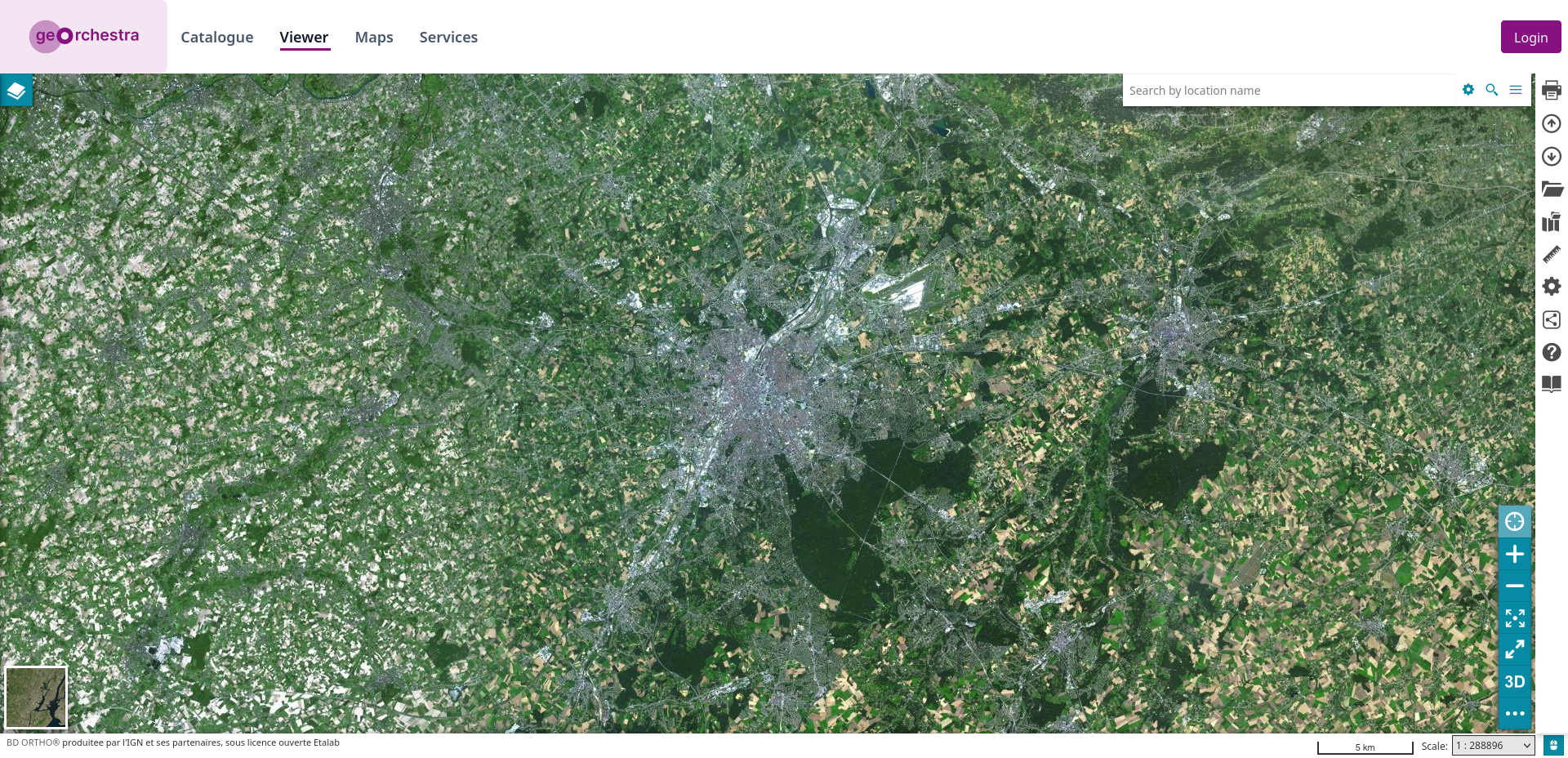
geOrchestra is a powerful open-source solution for managing and sharing geospatial data. It’s a ready to use, complete, Spatial Data Infrastructure.
geOrchestra is a software composed of well known open source components interconnected with each other: GeoNetwork, GeoServer, Mapstore and PostgreSQL.
The project geOrchestra started back in 2009 when the Brittany spatial data infrastructure was under construction. Users and developers decided to place the source code under an open license on GitHub. It has since received many contributions, and it is now used by hundreds of spatial data infrastructure around the world.
In this talk, I'll present the geOrchestra software, rapidly cover all of its components and the use cases.
Speakers
| Emilien Devos |